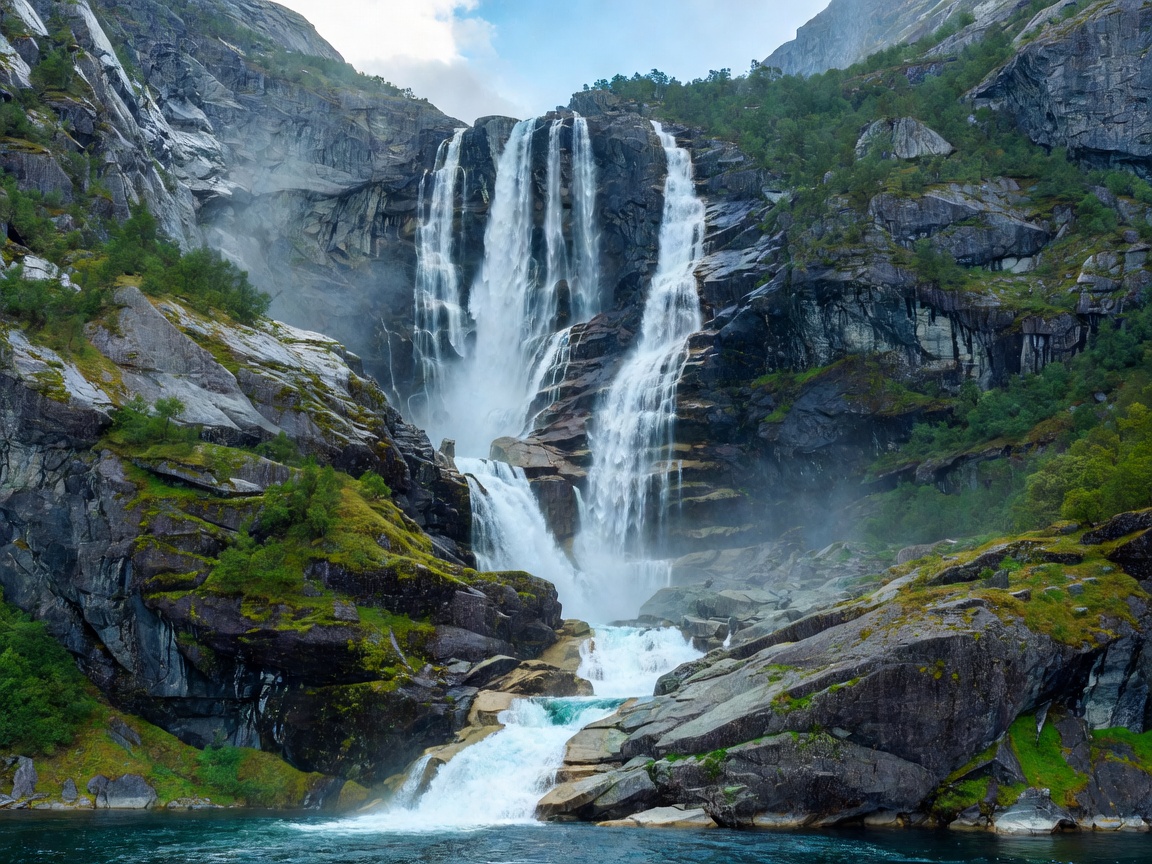
Geirangerfjord & Nærøyfjord
Sheer crystalline granite precipices rising 1,400 meters directly from glacial troughs, fed by snowmelt cascades and protected marine corridors.
From the sheer crystalline walls of western Scandinavia to the secluded limestone anchorages of the Adriatic, Europe’s coastal recesses harbor some of the planet’s most profound geologic intersections. Quirkpickindx documents their bathymetry, climatic rhythms, and marine passage profiles.
Select a coastal region to inspect navigational channels, climatic shifts, bathymetric depths, and ecological preservation mandates.
Sheer crystalline granite precipices rising 1,400 meters directly from glacial troughs, fed by snowmelt cascades and protected marine corridors.
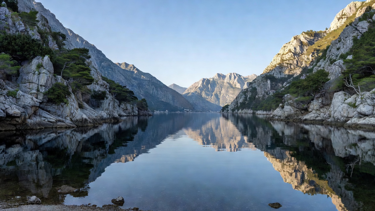
Southern Europe’s most intricate ria formation, carved between dramatic Orjen and Lovćen limestone massifs with walled Venetian anchorages.
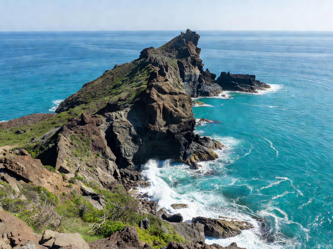
Contrasting thermal waters beneath Mount Vesuvius with the sheltered marble cliffs of La Spezia, home to historic maritime poetry and sea caverns.
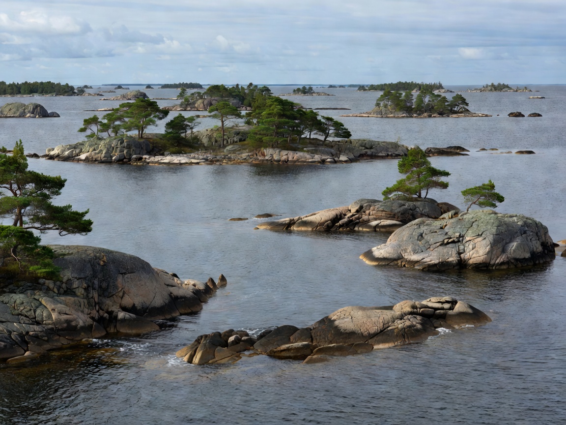
A labyrinth of glaciated granite skerries extending eighty kilometers into the Baltic Sea, characterized by brackish waters and wild anchorage rights.
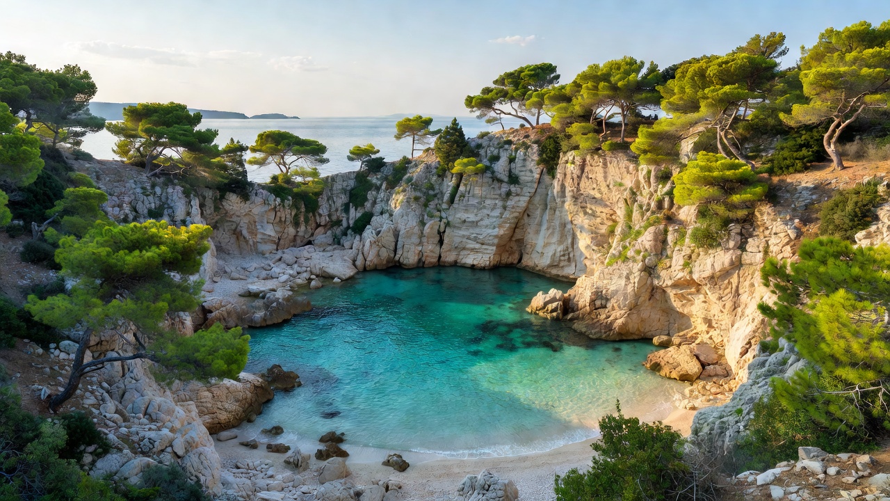
A drowned karst landscape stretching from the Kornati archipelago to Mljet, celebrated for ultra-clear visibility, sheltered calas, and national parks.
Select an active coordinate point to display regional soundings, climatic seasons, and baseline anchorage regulations.
Click any coastal beacon on the chart to review nautical depth gradients, prevailing seasonal winds, peak thermal visibility, and anchor protection index.
A side-by-side assessment of tidal variation, average water clarity, and regulatory governance across Europe's premier sheltered waterways.
| Water Body | Primary Regime | Tidal Amplitude | Horizontal Secchi Visibility | Environmental Framework |
|---|---|---|---|---|
| Geiranger & Nærøy (Norway) | Glacial Fjord System | 1.2 to 2.4 m | 8 – 14 m (Snowmelt Dependent) | UNESCO Heritage & Zero-Emission Zone 2026 |
| Bay of Kotor (Montenegro) | Submerged Fluvial Ria | 0.2 to 0.4 m | 10 – 16 m | Kotor Natural and Culturo-Historical Region |
| Naples & Poets (Italy) | Volcanic & Karstic Gulfs | 0.3 to 0.5 m | 12 – 22 m | Marine Protected Areas (Punta Campanella, Portovenere) |
| Stockholm Skerries (Sweden) | Post-Glacial Archipelago | < 0.1 m (Micro-tidal) | 4 – 7 m (Brackish Humic Water) | Allemansrätten & Archipelago Foundation Reserves |
| Dalmatian Bays (Croatia) | Drowned Karstic Ridge System | 0.3 to 0.6 m | 18 – 35 m (Ultra-Oligotrophic) | Kornati & Mljet National Marine Parks |